

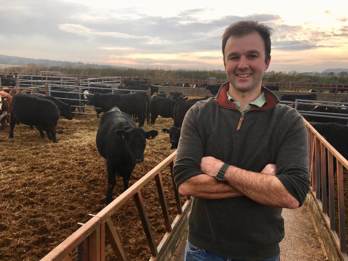
An Agri-EPI-supported trial of a new crop monitoring service has delivered promising results for Niall Jeffrey, Bielgrange Farm, East Lothian.
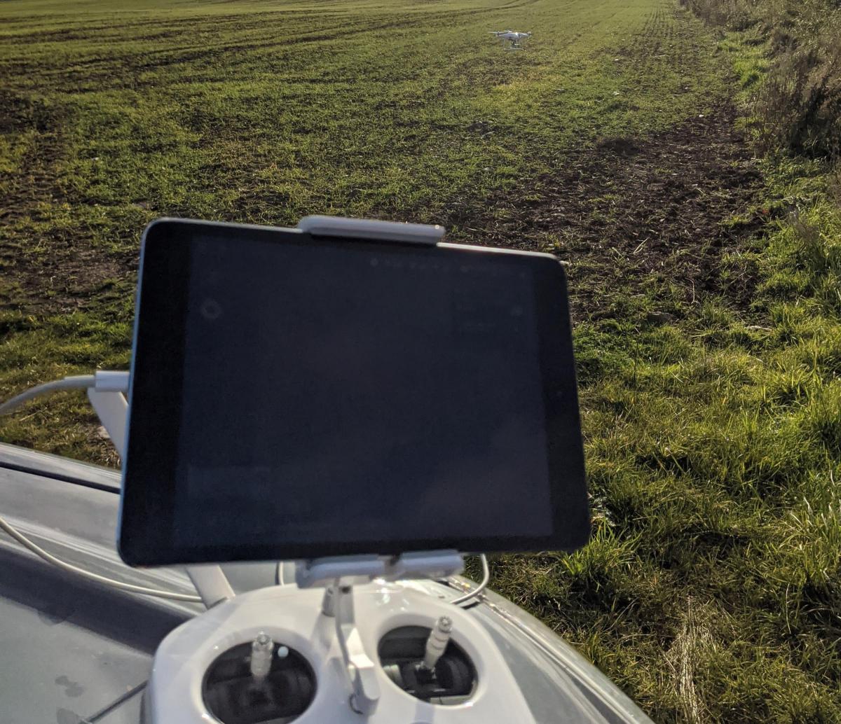
The farm is 350ha of lowland arable land and 240ha of hill, with a beef herd running between both. As part of Agri-EPI’s Satellite Farm programme, Niall is helping develop and evaluate Dark Technologies’ service, which uses satellite and drones to monitor crops, diagnose growth problems and predict yield.
The hi-tech system's prediction of yield from Niall’s field of second winter wheat was accurate to within less than 0.5% – and it was done without setting foot on his farm.
Niall said: “We chose a difficult field for the trial where the crop was poorly established. The open canopy enabled weeds to establish which we couldn’t treat without damaging the crop.
"Dark Horse remotely programmed a drone mission. All I had to do was go to the field and press start then, when it finished the mission, upload the memory card online to Dark Horse. We initially predicted a yield of around eight tonnes per ha and revised this throughout the growing season as Dark Horse showed us how things were progressing.
“Its ultimate prediction – made just three weeks before harvest – was 6.4 tonnes/ha and the actual result was 6.43 t/ha. Going forward, the prediction could help me with the management of harvest storage and forward selling. We were impressed with the accuracy of the results. I'm intrigued to see what else it can do."
Dark Horse Technologies promotes its service as being different from other forms of crop analysis because it goes beyond pure spectral analysis and incorporates specific spatial and temporal analysis of the crops.
Jared Bainbridge, its founder and chief executive, said: “What we were able to achieve with Niall is a great example of our service. Feature analysis allows us to monitor the geometric growth trajectory of each plant in the field over time.
“We can gauge each individual plant's performance to understand the ideal size and shape of a crop at any point in its life-cycle and can benchmark each plant's performance.
"Our service is designed so that it can be delivered with factory issued drones you can buy off-the-shelf. We’re not a drone company, but an advanced crop imaging company.
"We are capable of combining multiple sources of data and imagery, such as satellite, drone, mobile, sensor and ground-truth data, into a proprietary model capable of predicting yield and mapping crop-loss events with a high degree of accuracy. We are also able to integrate with existing on-farm machines to ensure sprayers target the areas of the field which need the most help, saving time and money.”
The farm is now preparing for more trials with the set-up, including a field scale seed treatment trial and the measurement of grass output from a paddock grazing system for cattle next summer.
Gavin Dick, Agri-EPI’s head of farms, commented: “This kind of trial is what our satellite farm network is all about – bringing together farmers with the developers of next generation technologies and techniques to develop and evaluate new ways of supporting producers’ efficiency and productivity.”


Comments: Our rules
We want our comments to be a lively and valuable part of our community - a place where readers can debate and engage with the most important local issues. The ability to comment on our stories is a privilege, not a right, however, and that privilege may be withdrawn if it is abused or misused.
Please report any comments that break our rules.
Read the rules here